West Orange Trail
Maps and Directions
|
WOT Map, Small (77 K) WOT Map, Big (297 K) Map of Western Orange Co. (154 K) Map of Bee Line (now Beach Line)/Florida's Turnpike intersection (107 K) |
|
|
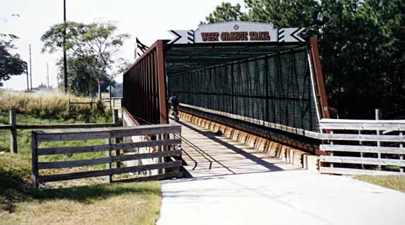
The west end of the West Orange Trail begins at Killarney Station (aka County Line Station), just off SR 50 on
the boundary between Lake and Orange Counties. The trail heads northeast
passing near the southeast shore of Lake Apopka, and ends in the town of Apopka.
The one-way
length of the trail is 19 miles. A connector trail was opened recently, which extends the trail westward to Clermont. Killarney Station is on the north side of SR 50, wedged between SR 50 and SR 438, and visible (but not acccessible) from SR 50. Access is from SR 438. Distance is about 90 miles from Satellite Beach. About 1 hr 30 min driving time. Directions to Killarney StationSoutherly Route:US 192 west to Florida's Turnpike (SR 91, toll, west of St. Cloud). FT north to Exit 272 (SR 50). West on SR 50 about 1 mile, past the ABC Bus Company, to the traffic light at Deer Isle Rd. Turn right (north) on Deer Isle Rd. Go about 100 yd and turn left (west) on SR 438 (should be WOT sign on corner). Go about 1/4 mile, Killarney Station entrance is on the left (south side of road). Northerly Route (my preferred route): I-95 north to SR 520. SR 520 west to the Beach Line (SR 528). Beach Line west to Florida's Turnpike (about 5 mi. past Orlando Airport, see map). FT north to Exit 272 (about 18 mi.). Follow above directions from FT Exit 272 to Killarney Station. General InfoThe trail is about 50-percent shaded, has quite a few curves, some of them right angles, and a few hills (only one short, steep one). It's a smooth trail, well-maintained and landscaped. A lot of people use the trail, but they're fairly spread out. Bikers, skaters, joggers, and walkers. |
Last update: 22 Jan 08, revised directions